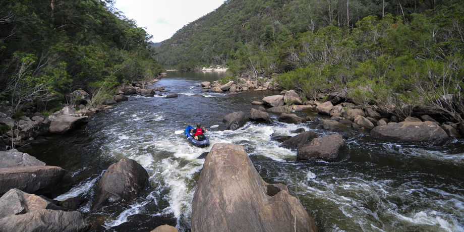
Bob Turners Track to Upper Colo Bridge Colo River

Volunteer with Landcare group Friends of the Colo we paddle waterways using the groups equipment to map and treat weeds.
http://www.rivercanoeclub.org
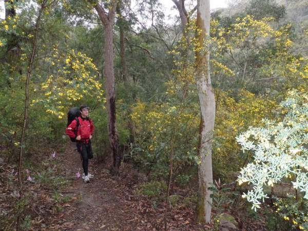
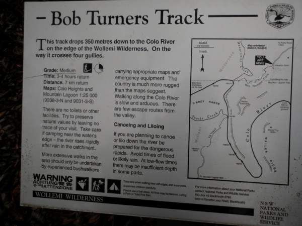
This trip starts with an hour long track walk to the river with a back pack. The track starts out and finishes with a series of steps but the rest of the time it has a gradual decline (with the occassional incline) to the river. Add extra time if you are carrying a boat. A hard shell boat would be difficult. A packraft or li-lo is preferable. If you are going to take a kayak, do the walk first so you know what you'll be in for. Do not take in a trolly and then just dump it at the river.
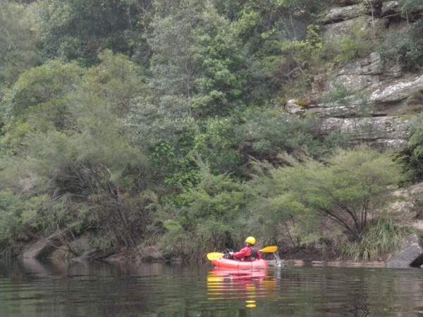
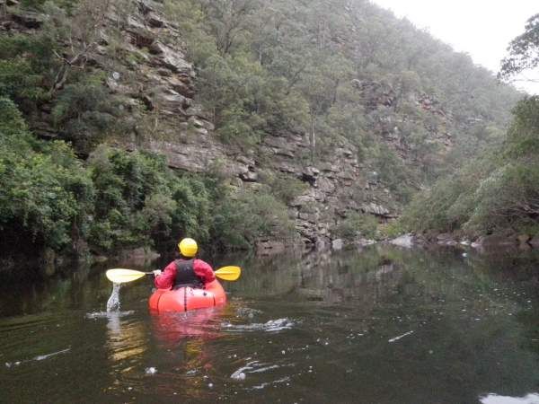
However you need to buy a quality raft or lilo and take a repair kit. The coarse sandstone rocks in the rapids and gnarly vegetation will tear holes in cheap plastic boats and lilos, such as Kmart or other cheap brands of rafts and lilos. This will leave you with a long, difficult walk along the bank through difficult vegetation, or having to swim the ponds with your pack in tow, changing this amazing adventure in the Wollemi Wilderness into a hard, tiring slog. If you do not have quality packrafts (usually they cost $800+) do not attempt this trip.
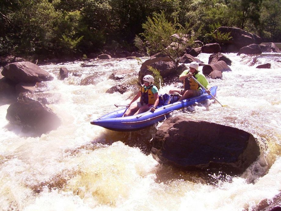
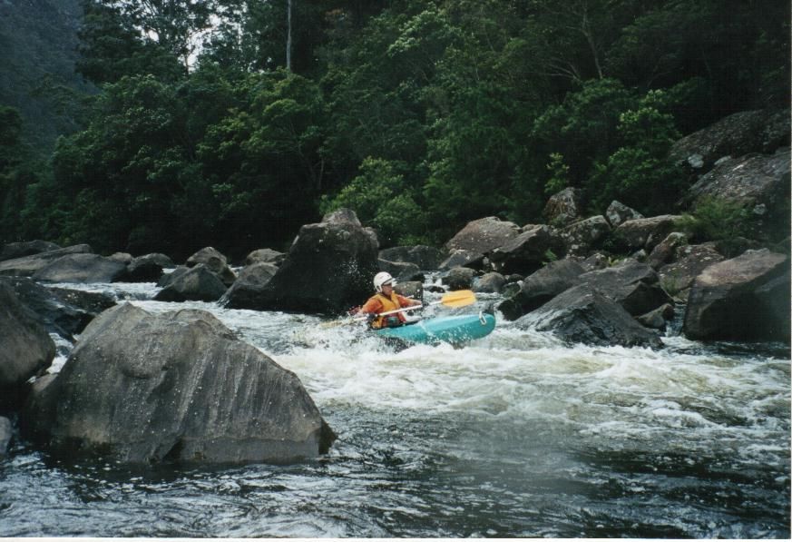
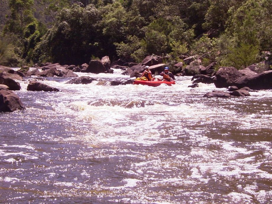
The trip starts out on the edge of the Greater Blue Mountains world Heritage area in the 500 meter deep Colo Gorge. There are three rapids on this section the first two are grade 2 and can easily be portage on river right. The 3rd rapid is a short grade three and if you get the line wrong and get hung up on a rock at the start you can get pinned to a flat rock about halfway down the drop. It is only a short rapid and can be portaged on river left. There are many great camp sites along the river with flat high sandbanks next to each of the rapids and deep pools between the rapids. Once you pass the last rapid the river starts to become shallow and meanders across a wide sandy river bed. There are lower sand banks around the bends in the river near Mt Townsend which get covered at about 1.5m. There is a high sand bank on river left and then on river right from there down to the Colo Merroo camp ground. Once you go past the Colo Merroo camp ground it is private property until you reach the upper Colo Reserve which is about 1km upstream of the Upper Colo Bridge on river left.
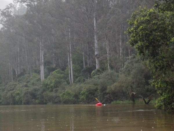
This is a great wilderness trip and is so close to Sydney. Clean water, great scenery, swimming, fishing and camping. Lots of bird life but strangely not a lot of other native animals are visible along the river in the gorge.
Friends of the Colo have been running a wed control (mapping treating and monitoring) program in the colo gorge since 2000 and have made some observations about rainfall in the 4 sub catchment and its impact on the river level:
Use the rainfall gauges linked to this section you will see there is a list of gauges for the Colo catchment but you also need to look at the Bilpin and Kurrajongs heights gauge on the Grose catchment so you can get an idea of how widespread the rain has been across the catchment. If you see rainfall of 30 to 40mm on most of the gauges on a day or over a couple of days the river should get above the 1.1m at Upper Colo. 1.2 metres at the Upper Colo gauge is the river flowing bank to bank i.e. covering the sand bars at upper colo. So the height above that represents how deep the water will be generally across the river. Once it gets over 1.4 the water will be flowing through some in stream vegetation and so anyone that capsizes may get tangled up in it. Above 1.5m the water starts to flow quite fast and finding a spot on the tree lined bank can be a little difficult and so people who have capsized might get tangled up in trees trying to get to the bank to empty their boat.
A rough guide to how long the rain in the following gauges takes to get to upper Colo gauge is:
Glen Alice Capertee River 3 to 4 days
Putty (Carpenter) Wollemi Creek 2 to 3 days
Putty Tea Rooms Wollemi Creek 2 to 3 days
Putty The Gibba Wollemi Creek 2 to 3 days
Colo Heights Upper Colo Same day
Ben Bullen Wolgan River 3 to 4 days
Bilpin (Fern Grove) Wollangambe Creek 1 to 2 days
Kurrajong Heights Wheeney Creek never


