Oallen Ford To Tallowa Dam

Published by: The Paddle NSW Inc. PO Box 6971 Silverwater NSW 2128 First published as a book "Canoeing Guide to New South Wales" in 1990 by NSW Canoe Association Incorporated Original Copyright NSW Canoe Association Incorporated 1990 Copyright PaddleNSW Inc. PO Box 6971 Silverwater NSW 2128 Email: admin@paddleNSW.org.au The information on this page and the printed book "Canoeing Guide to New South Wales" is copyright. Apart from fair dealing for the purposes of private study, research, criticism, or review as permitted under the Copyright Act, no part of this page may be reproduced, stored in a retrieval system or transmitted in any form or by any means electronic, mechanical, photocopying, recording or otherwise, without the prior permission of Paddle NSW Inc. All correspondence concerning the content of this guide should be addressed to the Paddle NSW Inc. ISBN O 646 00264 3 The "Canoeing Guide to New South Wales" was printed in Hong Kong by: United League Printing (Hong Kong) Ltd. , Film Separations by: D & S Brandish Print Consultants Typography by: Deblaere Typesetting Pty Ltd., Dee Why, NSW 2099
The Canoeing Guide to NSW Rivers
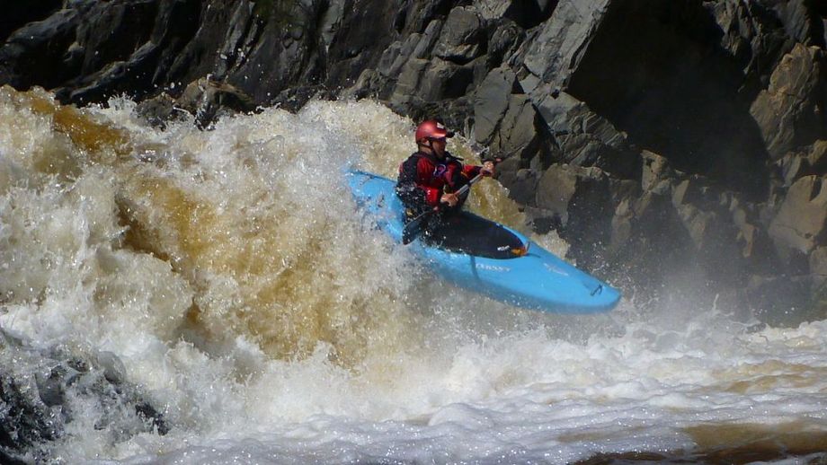
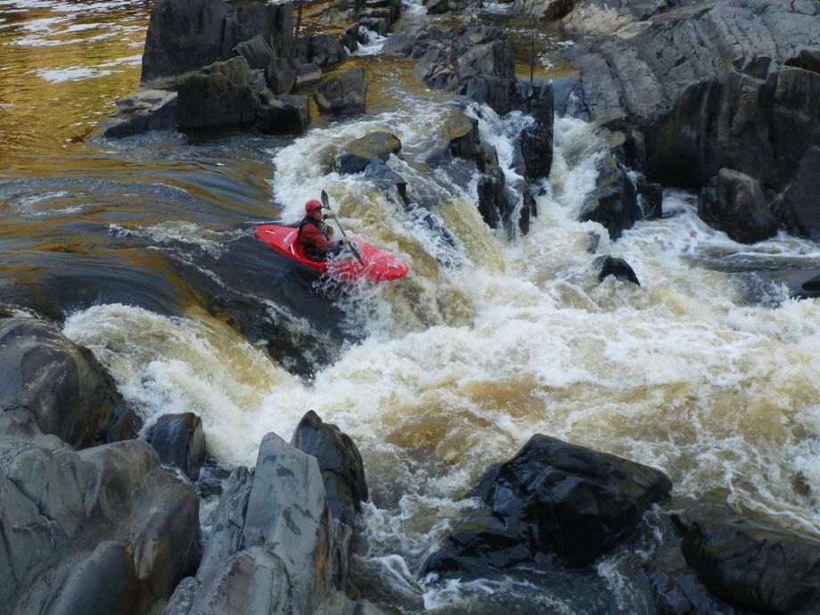
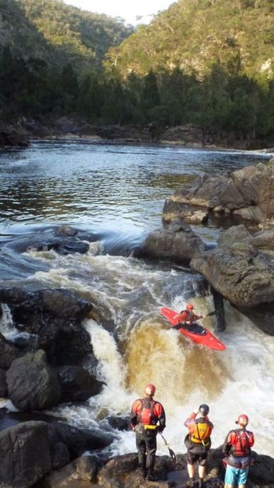
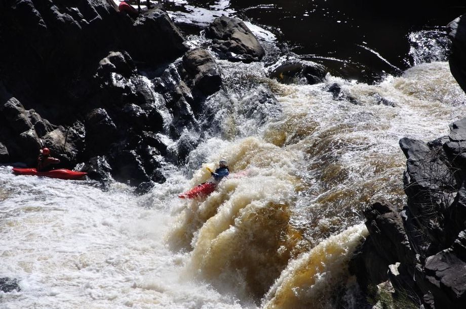
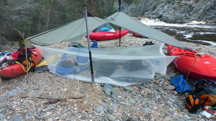
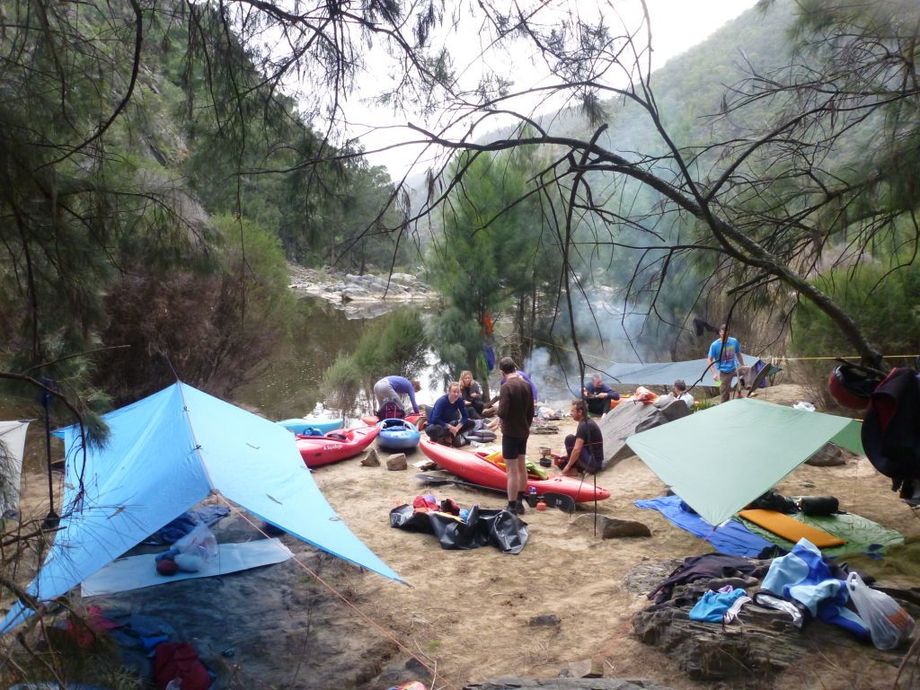
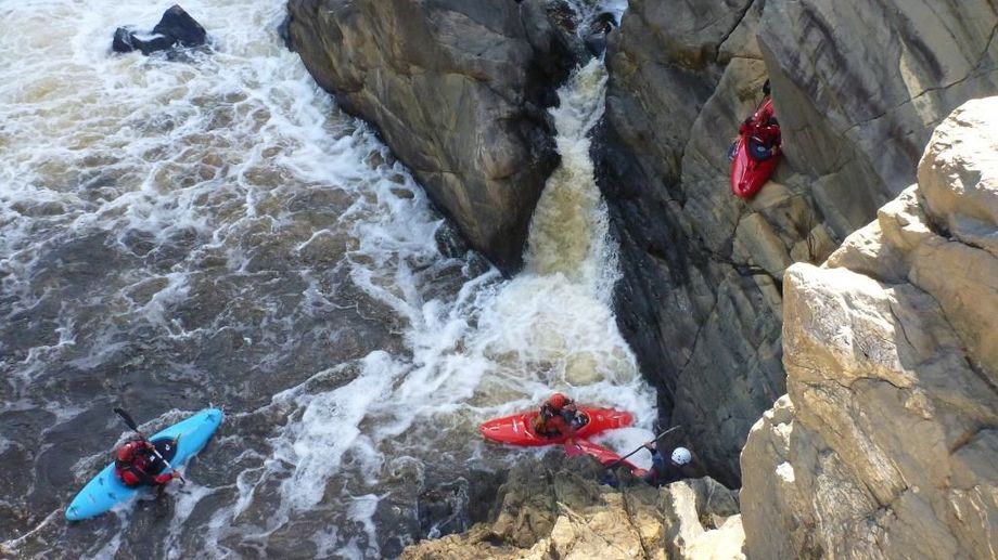
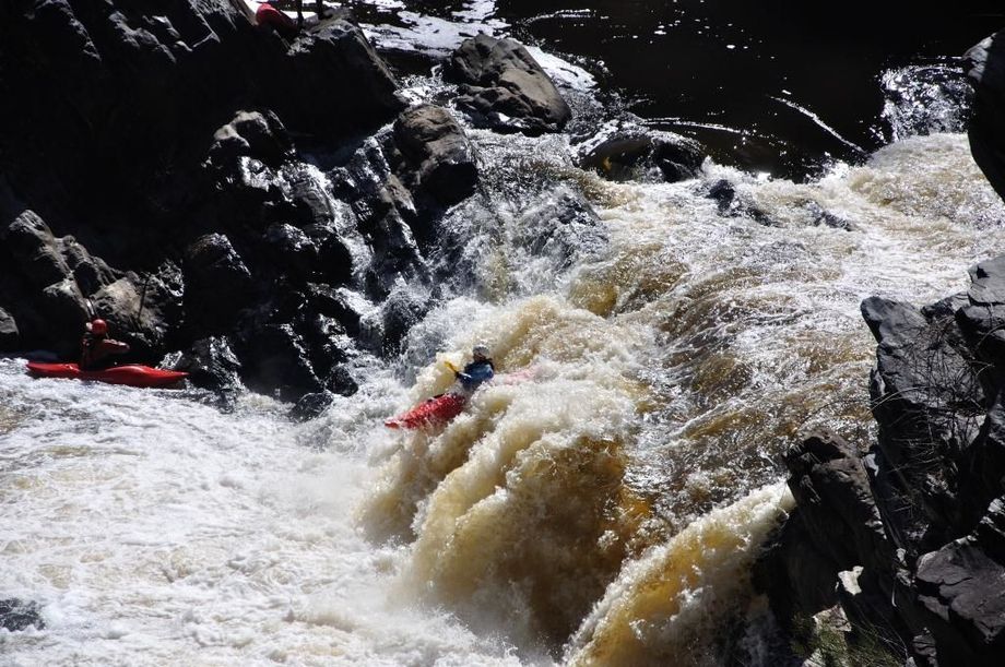
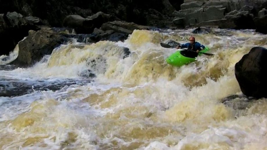
The river winds east through undulating timbered country to just past the Corang River (10km) before snaking its way north along a constantly descending course to Sewells Point. The section provides demanding rapids and exciting wildwater in combination with some of the most spectacular gorge scenery in N.S.W. After 5km of races and pools leading to Welcome Reef, the river changes significantly with the stretch to the Corang Junction containing 5 notable rapids. These are usually formed by large rock outcrops completely across the river. These range from grade 3 to 4 and include a 3 1l2m waterfall spanning the full width of the river which is marked on the Endrick map just upstream of Corang. Campsites in the stretch are plentiful though often on sand. High tension power lines which cross the river at Peggy's Gully (12km) reveal the last indication of civilization. Exits from this point, either side of the river need to be arranged with the landowners before accessing the properties and make for an enjoyable single day trip. The eastern egress involves a 120m climb up a steep and unstable valley wall. Easy access to the river in this stretch is also possible at Sailors Gully (7km). Entry to both of these locations would require a high clearance vehicle - for detailed information see river and access map. By this stage the rapids have become more frequent and longer. After Murrays Point (13km) the gorge descent is more pronounced and bouldery grade 3-4 rapids provide absorbing canoeing until approximately 17km down where a series of deep pools and sandy beaches allow excellent camping. The river now progresses with several rapids approaching grade 4 standard, whilst the scenery remains totally absorbing and ever changing. Feral goats display amazing agility as they clamber over rocks and scale the often unstable gorge walls. The stretch before and after Yellow Spring Creek (22km) contains numerous waterfalls 2-3m high into turbulent water. The steepest and possibly the most difficult stretch is immediately downstream (400m) of Yellow Spring Creek. In high water a 1 1/2-2 hour portage is necessary along the left bank - this involves a 300m rock scramble. At lower water levels an alternative route can be negotiated by following the river to the right of the uncanoeable 10m waterfall. A short portage is necessary and there are two more drops, the last being a 3m fall into a very large deep pool (beware of suckback). The vertical strata are starkly beautiful while the high surrounding rock faces are often scarred with evidence of landslides. The rapids continue at regular intervals until Jockeys Point (24km) where a series of pools and high banked beaches enables idyllic campsites, the best being on the left bank (Map Ref.717135 Windellama). The gorge gradually changes geologically to a v-shaped valley while the banks are often dominated by masses of boulders and gravel shoals. A grade 4-5 rapid downstream of Rocky Knob ends with a single thundering 5m drop. An alternative right bank double drop provides a safer better route - the rapid can best be portaged via the right-hand bank. The final stretch to Sewells Point contains several long, good, bouldery grade 3 rapids plus one twisting grade 4. The Sewells Point egress is not easily recognisable if paddling the river for the first time. The Point is visible for many kilometres upstream as a cleared area on an exposed ridge, however as the approach downstream is made the surrounding steep valley obscures the view. About 1km upstream is a very distinctive rapid which can be seen from the top of Sewells Point. There is a long chute to the right (looking downstream from above the rapid) at right angles to the bank followed by a very long whitewater bouldery run down the middle of the river. The rapid adjacent to Sewells Point consists of a single low boulder-formed bar across the entire river which usually has to be scraped down or portaged if the river level is below 1.0m. Immediately below this bar there is a long flowing pool. A sandy area along the base of the point provides a good camp which is not visible from the river. The eastern egress involves a 120m climb up a steep and unstable valley wall. Easy access to the river in this stretch is also possible at Sailors Gully (7km). Entry to both of these locations would require a high clearance vehicle - for detailed information see river and access map. This section of the Shoalhaven River would be one of the most scenic canoe trips in NSW. The gorge is very deep with steep walls. Blockup Gorge, 36km downstream of Sewells Point is extremely impressive with sheer red cliffs rising from the water, but its name belies its character from a canoeing point of view as the river flowing through the gorge is deep and tranquil. Two kilometres further on are the "chimneys", somewhat ornately crafted which are relics of old copper mines. From Bungonia Gorge onwards towering sandstone cliffs, similar to those seen in the Blue Mountains predominate. From Sewells Point the river falls fairly steeply at first with a grade 3 rapid after 1km followed by a grade 3 and a grade 2 at Fagans Point. (These details are for medium water. At higher water there are more grade 3 rapids). There follows a less demanding stretch for 7km with a grade 2-3 and 2 near the confluence with the Endrick River. Just past Henrys Point there is a small campsite on the left (7 1l2km) but no substantial camp sites until Sluice Box Spur (17 1l2km) and opposite the junction with Nerrimunga Creek (19km). From a point about 3km above Sluice Box Spur to just around Great Horseshoe Bend (28km) there are sufficient grade 2 and 3 rapids to make the stretch interesting. There are numerous small campsites along this stretch and one larger, very good one on the left near Panning Hill. Feral goats and sheep may be seen here along the riverbank and on the rocky outcrops. For 6km below Great Horseshoe Bend the river is of a moderate standard but then the trickiest rapid of the trip is encountered a grade 4 drop known as the "Washing Machine" as it consists of a chute into a churning whirlpool with a strong suck back. This should be inspected and the alternative run on the left shot if there is doubt, as a paddler caught in this rapid could face difficulties in getting out of the swirl. Half a kilometre downstream there is a remarkable rock formation where the strata are thrown into a mass of confused folds. Once the difficult rapid has been negotiated, the river quietens as it flows through Blockup Gorge with its outstanding red vertical walls. No further rapids are encountered until the next main bend to the right (a1km) where there is a grade 3 rapid in a stand of casuarinas growing across the stream which may create dangerous log hazards. Good camping is available opposite the "chimneys" and downstream around the bend as well as 41l2km downstream on the flat opposite Hermit Spur (42-43km) and Bungonia Creek on the left (44km). If camp is made at the latter site, the Bungonia Gorge area may be explored. This campsite is large, flat and grassy but may be crowded with bushwalkers in the warmer months but an alternative good site is immediately across the river. Two kilometres below Bungonia Creek is the exit from Louise Reach. It is recommended that the straightforward left-hand channel be taken in preference to the conf used and steep bouldery route onto the sheer cliff-face on the right. Downstream of Long Point (47km) the character of the gorge changes and high sandstone cliffs form the valley walls for the rest of the trip. The river flows swiftly to Canoe Flat with occasional grade 2 rapids. Below Canoe Flat are several grade 2-3 rapids, the last of which is somewhat difficult because of trees. There is much scope in the Shoalhaven Gorge for exploratory walks especially in the vicinity of Fryers Gorge, Billy Bulloo's Canyon and Fossickers Flat. Good camping is available at Fossickers Flat. The flatwater stretch formed by Tallowa Dam is soon encountered (65km) and continues to the end of the trip (79km). There are buoys near Tallowa Dam to keep craft away from the dam wall. The trip finishes at the launching ramp in the picnic area just to the left of the dam wall.


