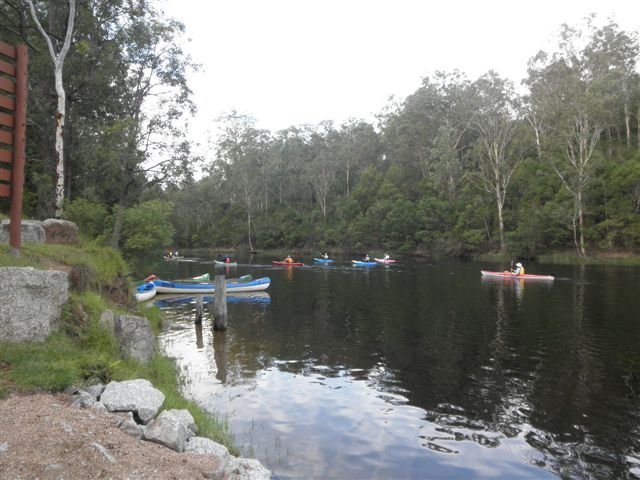
Jon Mortimer manages the Eurobodalla Kayakers website and email list. Eurobodalla Kayakers is not a club. It is simply a facility for sharing information about some kayaking activities in the district, for kayakers who want to know when and where other paddlers might be found on the water. Further information, including a calendar of paddles, is available on the website (access via the link below) or via the email eurobodallakayakers[at]gmail.com
Eurobodalla Kayakers
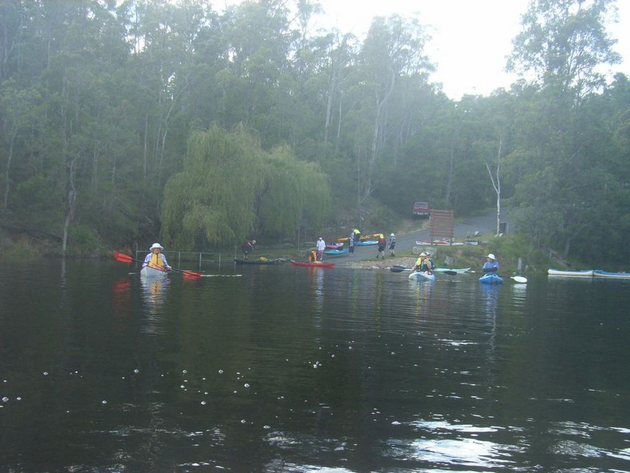
The boat ramp is on the southern side of Brogo Dam. Travelling north on the Princes Highway from Bega, pass the Snowy Mountains Highway turnoff and count 10km before turning left into Warrigal Range Road. The Dam is 14km from here on good quality unsealed road, the last 1km on Brogo Dam Road. The Cartoscope map (http://www.cartoscope.com.au/maps/sapph_cst/sapphireregion.pdf) provided free by local tourism offices has just the right amount of detail. Don't take directions from Google Maps or your GPS. You will most likely be directed to a different turnoff from the Princes Highway and get to the Dam on the northern side where there is no access to the boat ramp. The concrete boat ramp is best for trailered boats, but adequate for kayaks. No shops or cafes nearby so take everything you need.


